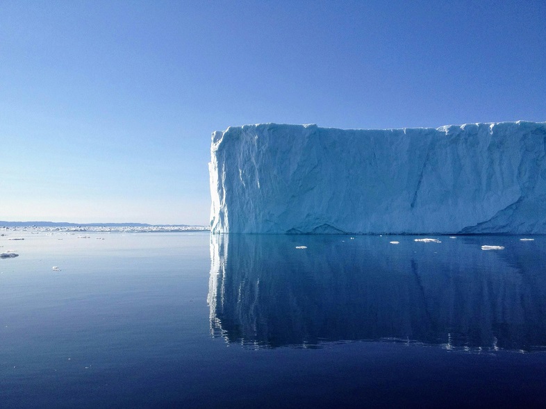
Scientists have successfully tracked the changes in the Greenland Ice Sheet’s thickness using data from both ESA’s CryoSat-2 and NASA’s ICESat-2 satellites. These observations are vital as the melting ice sheet, driven by global warming, contributes to rising sea levels and disrupts weather patterns worldwide. Understanding these changes is crucial for adapting to and mitigating the effects of climate change.
Advanced Satellite Technology for Accurate Measurements
The CryoSat-2 and ICESat-2 satellites utilize different technologies to monitor the ice sheet. CryoSat-2 employs radar to measure Earth’s surface height, working even through clouds but requiring adjustments due to its radar’s ability to penetrate the ice. In contrast, ICESat-2 uses lasers that can only work in clear skies but provide direct reflections from the surface. Together, these methods provide more accurate measurements of ice loss.
Breakthrough in Polar Science
The combined data from the two missions have produced more reliable estimates of ice loss, marking a significant advancement in polar science. A study published in Geophysical Research Letters confirmed that the data from both satellites align within 3%, meaning that if one satellite fails, the other can continue to provide monitoring, ensuring that the record of ice sheet changes remains intact.
Significant Ice Loss and Environmental Impact
Between 2010 and 2023, the Greenland Ice Sheet thinned by an average of 1.2 meters. In some areas, the thinning was much more dramatic, reaching up to 67 meters. Over this period, the ice sheet lost 2,347 cubic kilometers of ice, enough to fill Lake Victoria. These losses, particularly during the unusually warm summers of 2012 and 2019, significantly contribute to rising sea levels, which in turn impact global ocean currents and weather systems.
Collaboration for a Comprehensive Understanding of Climate Change
The collaboration between ESA’s CryoSat mission and NASA’s ICESat-2 is enhancing our understanding of polar ice changes. By synchronizing their data collection, the two satellites provide unprecedented accuracy in tracking ice loss. This collaboration is also crucial for future missions like CRISTAL, which will continue to refine our understanding of climate change impacts. The data from these missions play a critical role in monitoring sea level rise and supporting global climate adaptation efforts.
Leave a Reply