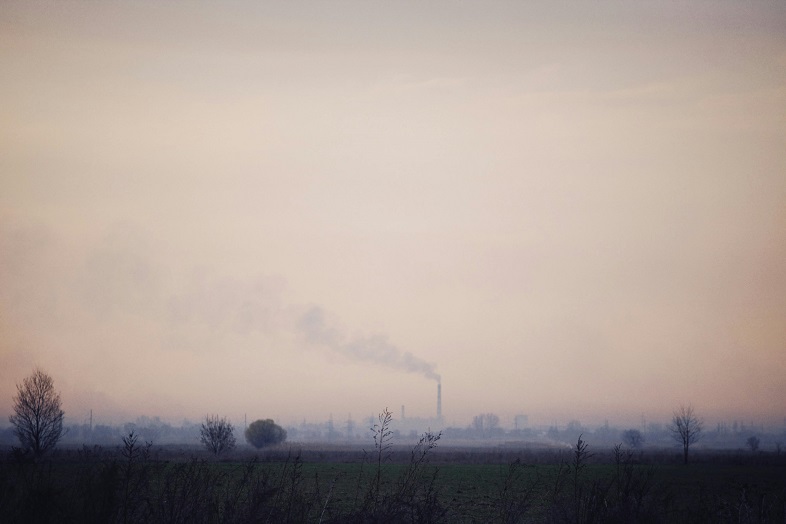
Millions in the Indo-Gangetic plain and Himalayan foothills are exposed to dangerous levels of air pollution, with PM2.5 levels recently reported as 20 times above the World Health Organization’s recommended limit.
To address this, the International Centre for Integrated Mountain Development (ICIMOD) has introduced an Air Quality Dashboard, providing real-time and forecasted air pollution data.
The platform combines ground sensor data and satellite imagery to offer a detailed view of air quality across local, sub-regional, and regional levels. One key feature is a dynamic time-lapse powered by the WRF-Chem model, showing the spread of PM2.5 across hotspots like Kolkata, New Delhi, and Lahore.
Leave a Reply